 United StatesJFK
 MexicoMEX
 BrazilGRU
 ArgentinaEZE
 ChileSCL
 ColombiaBOG
 PeruLIM
 PanamaPTY
 Costa RicaSJO
 Dominican RepublicPUJ
 JamaicaMBJ
 BahamasNAS
 BarbadosBGI
 United KingdomLHR
 IrelandDUB
 FranceCDG
 GermanyFRA
 NetherlandsAMS
 BelgiumBRU
 SwitzerlandZRH
 AustriaVIE
 ItalyFCO
 SpainMAD
 PortugalLIS
 GreeceATH
 TurkeyIST
 DenmarkCPH
 SwedenARN
 NorwayOSL
 FinlandHEL
 PolandWAW
 Czech RepublicPRG
 HungaryBUD
 IcelandKEF
 United Arab EmiratesDXB
 QatarDOH
 Saudi ArabiaRUH
 IsraelTLV
 EgyptCAI
 MoroccoCMN
 South AfricaJNB
 KenyaNBO
 NigeriaLOS
 IndiaDEL
 PakistanLHE
 Sri LankaCMB
 SingaporeSIN
 MalaysiaKUL
 ThailandBKK
 VietnamSGN
 PhilippinesMNL
 IndonesiaCGK
 Hong KongHKG
 ChinaPVG
 TaiwanTPE
 JapanHND
 South KoreaICN
 AustraliaSYD
 New ZealandAKL
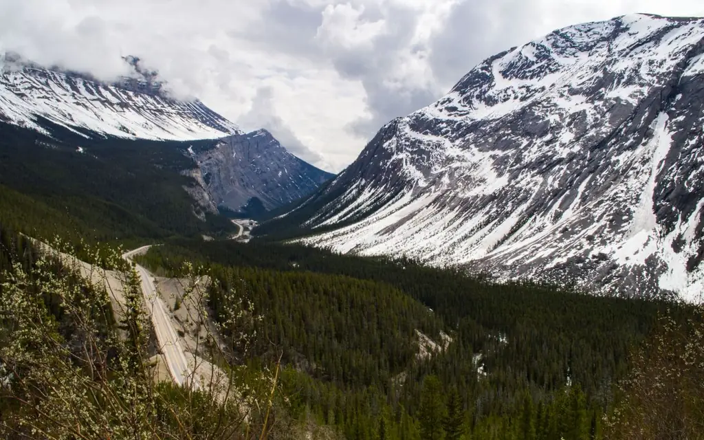
The Icefields Parkway is Highway 93 North, and on a map it looks like a simple line from Lake Louise to Jasper. On the ground it is 232 km of mountain road through two national parks, with glaciers visible from the car, a single fuel stop that operates in summer only, and long stretches with no mobile signal. Parks Canada suggests allowing a full day for a one-way trip. An icefields parkway private tour with driver is the version of this drive where the person at the wheel knows when to fill up, which stops to take first and what the weather is doing, and you spend the day looking at the peaks.
The guide below gives the stops by kilometer, the practical limits, the pass and season rules, and a one-way day plan that starts in Calgary and ends in Jasper.
How long is the Icefields Parkway, and how long does it take?
The Icefields Parkway is 232 km (144 miles) long, linking Lake Louise in Banff National Park with Jasper townsite. Non-stop it takes about three hours, but Parks Canada suggests allowing a full day one-way for stops. From Calgary's airport add about 200 km (124 miles) and two hours to reach Lake Louise first.
Parks Canada describes the parkway as passing through some of the most dramatic landscapes in the Canadian Rockies, and advises a full day. A 70 km/h limit applies in spring and summer on a section through caribou habitat, and the road is often busy with slow-moving traffic at wildlife stops. That makes the three-hour figure a theoretical one; a realistic driving day with five or six stops is nine to ten hours.
North to south or south to north?
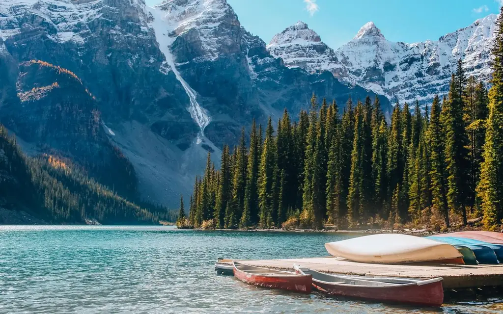
Both work. Starting from Lake Louise, the early stops are close together: Bow Lake and the Peyto Lake viewpoint are 37 to 43 km from the junction, so the first hour is full of views and photography. Starting from Jasper puts the Athabasca Falls and the Columbia Icefield at the start, which suits travelers arriving from Edmonton.
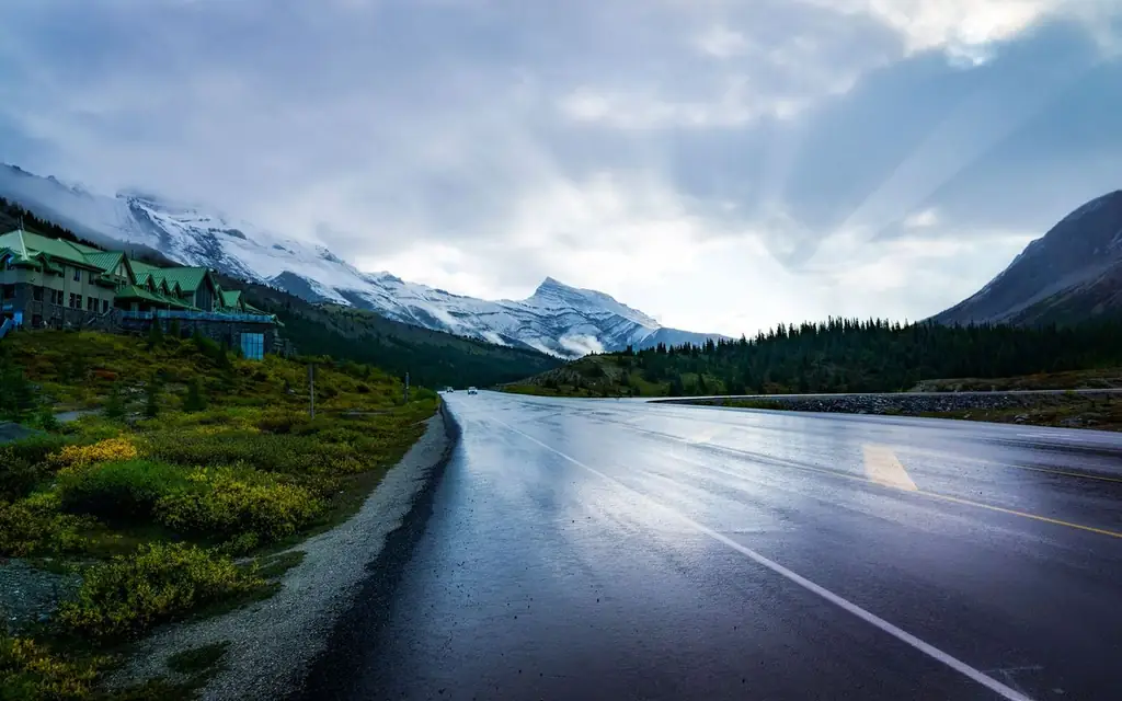
The choice depends mostly on where your trip begins. Calgary guests going to Jasper drive south to north. Guests returning from Jasper to Calgary or Banff drive north to south. The desk plans one-way transfers in either direction.
For a one-way trip, the online booker shows the fixed fare for the exact route before you confirm.
The stops, in kilometer order
Parks Canada's quick guide measures distances from Lake Louise. The main stops are:
| Stop | Distance from Lake Louise | Notes |
|---|---|---|
| Bow Lake viewpoint and day-use area | 37 km | Summer use |
| Bow Lake lakeshore | 39 km | Accessible year-round |
| Peyto Lake viewpoint | 43 km | Short walk to the viewing platform |
| Saskatchewan River Crossing | 80 km | Only fuel station; visitor services in summer |
| Columbia Icefield Discovery and Information Centre | 128 km | Seasonal opening |
| Athabasca Falls | 203 km | About 30 km from Jasper |
Parks Canada also lists Mistaya Canyon, a short walk to a footbridge over a narrow gorge, and Parker Ridge, where switchbacks climb to views of the Saskatchewan Glacier. Peyto Lake is reached by a 0.6 km one-way trail from the parking lot, and Parks Canada warns that the lot by the highway and the one near the lodge get extremely busy in summer, so come early or late.
The Columbia Icefield area has seasonal commercial attractions operated by private companies, with their own tickets and opening dates. Confirm what is operating on your date before building the day around it.
Fuel, signal and services
This is the part to plan carefully. Parks Canada's guidance:
- Fuel. Lake Louise and Jasper have fuel. Saskatchewan River Crossing has the only gas station on the parkway, and it is open in summer only. There are no gas stations between Jasper and the Crossing, which is 154 km south of Jasper. In winter there are none between Lake Louise and Jasper. "Fuel up before leaving Lake Louise or Jasper."
- Cell signal. None on the parkway. Download maps and confirmations before you leave the village.
- Services. Many are open June through September only.
The chauffeur manages the fuel, but you should still carry water and a light meal, because dining options along the way are limited.
The park pass
A valid national park pass is required to drive the parkway. Parks Canada says you can buy one at the Niblock Gate, about 4 km past Lake Louise (open in summer), at Banff and Jasper pass sales points, or at the Jasper gate for southbound travel. The agency's Banff park passes page explains daily passes and the annual Discovery Pass; per-park pass rules are set by Parks Canada and change.
Season, winter and closures
The parkway is open year-round, but conditions differ sharply. In spring and summer, the road is clear and busy, and the Columbia Icefield center operates for part of the season. Autumn is quieter and the larch trees color on the high slopes in late September. In winter, Parks Canada advises against using the parkway as an alternative to the Trans-Canada Highway because of limited maintenance and potential avalanche closures. If it closes, the Highway 2 detour between Jasper and Banff takes roughly 7.5 hours.
Check 511 Alberta before traveling, as Parks Canada advises, and look at the park bulletins for Jasper National Park, where road and trail closures can change quickly. For a trip in October or later, ask the desk about winter conditions before departure.
Bears, elk, bighorn sheep, mountain goats and caribou use the corridor. Stopping in a travel lane is dangerous, and pulling over for a bear on the road creates a traffic jam within minutes. Stay in or beside the vehicle at sightings and keep your distance. The caribou speed zone is enforced in spring and summer. Drones are prohibited in Banff National Park; check Jasper National Park's notices for its own rules.
A one-way day: Calgary to Jasper
This plan assumes a June to September date and a 6:30 a.m. start from Calgary.
- 06:30 Pickup at your Calgary hotel or the airport. Highway 1 west to Lake Louise, about 185 to 200 km (115 to 124 miles).
- 09:15 Coffee and fuel at Lake Louise. Buy or confirm the park pass.
- 10:00 Bow Lake and the Peyto Lake viewpoint (37 to 43 km).
- 12:00 Saskatchewan River Crossing (80 km): lunch, last fuel.
- 13:30 Columbia Icefield (128 km): the center and viewpoints.
- 16:00 Athabasca Falls (203 km), then 30 km to Jasper.
- 17:00 Arrive at your Jasper hotel.
That is about 10 hours and 430 km (267 miles) of driving including the Calgary leg, and it is tight. If your schedule allows, break it with a night in Lake Louise or Banff; the Banff and Lake Louise guide lists where the pressure points are. Guests who want the lakes first can read the Moraine Lake guide.
Jasper is roughly 370 km (230 miles) from Edmonton by Highway 16, a drive of about four hours. A chauffeur can continue from Jasper to Edmonton's airport, or return you to Calgary by the same road in reverse. For other Alberta events, such as the Calgary Stampede, the desk can combine a Rockies trip with a city stay.
Arriving in Jasper: check what is open
Jasper National Park is more than 11,000 square kilometers, the largest in the Canadian Rockies, and it is still recovering from the 2024 wildfire. Parks Canada's Jasper pages carry an interactive "What's open" map showing which areas have reopened and which remain closed, along with fire information and bulletins. Read them in the week before you travel and again the morning of the drive, because a closed trail or campground changes the day's plan. For roads, Parks Canada points visitors to 511 Alberta, and the Jasper park office lists its contact details on the Jasper National Park planning page.
The practical advice for the Jasper end is to have the hotel confirmed and the check-in time known before you leave Lake Louise, since you will have no signal on the road to call ahead. Tell the desk if you want the final stop to be the Athabasca Falls rather than the Columbia Icefield on a short winter day.
Two nights instead of one long day
The one-way day above is the ambitious version. The better version for most people is two nights: Calgary to Lake Louise on day one, with an afternoon at the lake and an early night, and Lake Louise to Jasper on day two with the Parkway at a calm pace. The stretch from Lake Louise to the Columbia Icefield is where most of the viewpoints are packed, and starting at 7 a.m. from Lake Louise puts you at Bow Lake and Peyto Lake before the coach groups, then at the Icefield by late morning. The afternoon then runs through the quieter northern half to Athabasca Falls and Jasper by dinner.
A split schedule also helps with seat times. If you plan to book a guided glacier experience at the Columbia Icefield, which is operated by private concessionaires, a firm entry time makes the rest of the day easier, and the chauffeur can work backwards from it. Ask for the booking reference to be added to the trip notes.
What to wear and carry
Weather on the parkway changes with the altitude. Bring layers, a waterproof shell, sunglasses and a hat even in July, and warm gloves in September and October. Snow can fall at the Icefield in any month. Carry water and snacks because services are thin, and keep a small first-aid kit and a phone charger in the car; the vehicles carry water and chargers in most cases, but the stops are long and the batteries drain quickly when you photograph a lot. Good walking shoes matter at Parker Ridge, where the path climbs steeply across switchbacks.
For an airport meeting, the Calgary airport's ground transportation pages at yyc.com list its taxi, sedan and bus-tour options, and the Calgary limo service page and airports hub explain how a chauffeur pickup there works. Vehicle classes and luggage space for a group are on the fleet page.
Ways to travel the parkway compared
| Option | Time, Lake Louise to Jasper | Cost note | Best for |
|---|---|---|---|
| Scheduled coach | About 5 to 6 hrs with stops | Per seat | Solo travelers on a fixed route |
| Guided group tour | Full day | Per seat | Visitors who want commentary |
| Taxi | About 3 hrs non-stop | Metered, very long fare | Not practical |
| Rideshare | Not realistic | Not applicable | Not an option for long intercity runs |
| Rental car | 9 to 10 hrs with stops | Fuel and one-way drop fees | Independent travelers comfortable with mountain driving |
| Private chauffeur | 9 to 10 hrs with stops | Fixed fare via the booker | Groups, couples, early starts, one-way transfers |
If you want to drive and have a car, a rental car is a good choice. The reason to book a chauffeur is that a long day is easier when the driver handles fuel, weather and parking and you handle the viewing. See the private tours with a driver page and the North America directory for the wider picture. Large vehicles above 4,550 kg gross weight are not permitted on the parkway, but buses and recreational vehicles are, according to Parks Canada.
Accessibility
Many stops are roadside viewpoints or short walks. Peyto Lake and the Columbia Icefield involve ramps or paths of varying quality, and Parker Ridge is a steep climb. Parks Canada's Icefields Parkway guide lists the stops and fuel points. Tell the desk if anyone needs a vehicle that suits a mobility aid.
Frequently asked questions
How long is the Icefields Parkway?
232 km (144 miles) between Lake Louise and Jasper, on Highway 93 North. Parks Canada suggests allowing a full day one-way.
How long does it take to drive the Icefields Parkway?
About three hours without stops. A realistic day with stops at Bow Lake, Peyto Lake, the Columbia Icefield and Athabasca Falls is nine to ten hours.
Is there gas on the Icefields Parkway?
Only at Saskatchewan River Crossing, which is open in summer. Fill up in Lake Louise or Jasper. In winter there are no fuel stations between Lake Louise and Jasper.
Is there cell service on the Icefields Parkway?
No. Parks Canada says cell service is not available. Download offline maps and confirmations before you start.
Do I need a park pass for the Icefields Parkway?
Yes. A valid national park pass is required to drive it. You can buy one at the Niblock Gate near Lake Louise, at Banff and Jasper, or at the Jasper gate.
Is the Icefields Parkway open in winter?
Yes, but Parks Canada does not recommend it as a Trans-Canada alternative in winter. Maintenance is limited, avalanche closures are possible, and there is no fuel. Check 511 Alberta.
Can a chauffeur drive me one-way from Calgary to Jasper?
Yes. The desk plans one-way transfers with stops on the parkway. Enter the route in the online booker for a fixed fare before you confirm.
Which direction is better, north or south?
Either. Lake Louise to Jasper puts Bow Lake and Peyto Lake first; Jasper to Lake Louise puts Athabasca Falls first. Choose by where you sleep and the light.
How far is Jasper from Edmonton?
Roughly 370 km (230 miles) by Highway 16, about four hours. A chauffeur can continue there from Jasper.