 United StatesJFK
 MexicoMEX
 BrazilGRU
 ArgentinaEZE
 ChileSCL
 ColombiaBOG
 PeruLIM
 PanamaPTY
 Costa RicaSJO
 Dominican RepublicPUJ
 JamaicaMBJ
 BahamasNAS
 BarbadosBGI
 United KingdomLHR
 IrelandDUB
 FranceCDG
 GermanyFRA
 NetherlandsAMS
 BelgiumBRU
 SwitzerlandZRH
 AustriaVIE
 ItalyFCO
 SpainMAD
 PortugalLIS
 GreeceATH
 TurkeyIST
 DenmarkCPH
 SwedenARN
 NorwayOSL
 FinlandHEL
 PolandWAW
 Czech RepublicPRG
 HungaryBUD
 IcelandKEF
 United Arab EmiratesDXB
 QatarDOH
 Saudi ArabiaRUH
 IsraelTLV
 EgyptCAI
 MoroccoCMN
 South AfricaJNB
 KenyaNBO
 NigeriaLOS
 IndiaDEL
 PakistanLHE
 Sri LankaCMB
 SingaporeSIN
 MalaysiaKUL
 ThailandBKK
 VietnamSGN
 PhilippinesMNL
 IndonesiaCGK
 Hong KongHKG
 ChinaPVG
 TaiwanTPE
 JapanHND
 South KoreaICN
 AustraliaSYD
 New ZealandAKL
Check the road before anything else
Most destination guides open with a view. For Big Sur the honest opening is a road report, because California Highway 1 is the only access to the coast, as the Big Sur visitor site puts it. If the highway is closed in the wrong place, there is no side road to take.
Here is the picture as of mid-October 2026, drawn from official sources, with dates. The Big Sur visitor site reported on September 14 that Highway 1 was fully open through Big Sur, and it records the February 20, 2026 reopening at Regent's Slide, a long-running closure. Caltrans District 5 reported on September 2 that the northern Timber Fire closure was lifted from September 3, while a southern closure supporting Plaskett Fire response stayed in place between Pacific Valley and the Monterey and San Luis Obispo county line, with US-101 as the alternate route. California State Parks, on October 16, 2026, said the Timber and Plaskett fires were still active in the area and that all backcountry trails east of Highway 1 in Julia Pfeiffer Burns State Park were closed indefinitely.
Conditions change by the hour, so a Big Sur private tour with driver begins with Caltrans QuickMap and the parks pages on the morning of travel, and the desk will tell you plainly if we recommend a different plan.
How do you drive to Big Sur from the airports?
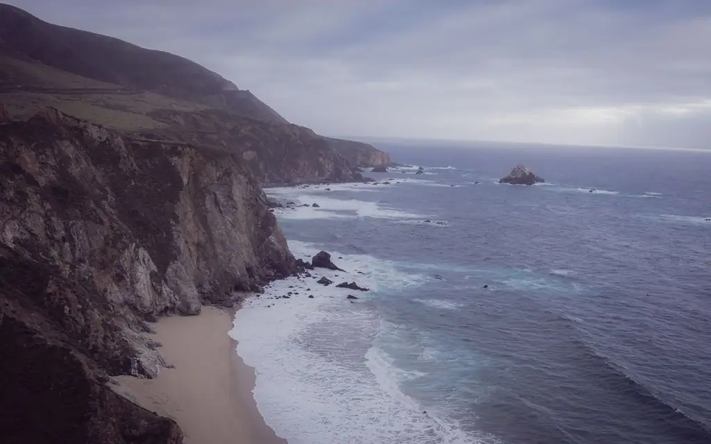
Bixby Creek Bridge lies roughly 21 km (13 mi) south of Carmel on Highway 1. Carmel to McWay Falls is about 60 km (37 mi), roughly an hour to 1 hour 15 minutes; Monterey Regional Airport is about 6 to 7 miles from Carmel, and San Jose or San Francisco airports are two to three hours away.
The usual start is the Monterey Peninsula. The Monterey Regional Airport says it is 3.5 miles east of downtown Monterey and within ten miles of Pebble Beach, Pacific Grove and Carmel-by-the-Sea. From San Francisco, plan on roughly 190 km (120 mi) and two and a half to three hours to Carmel before the coast road begins; San Jose is closer, about 120 km (75 mi). The SFO airport guide covers terminal pickups, and the San Francisco limo service page shows how the desk covers the Bay Area. For the peninsula, read the 17-Mile Drive and Carmel-by-the-Sea guide, the natural prelude to a Big Sur day.
The coast road, stop by stop
Distances below are from Carmel and are planning estimates; the road is slow and winding, with frequent pullouts and speed limits that vary.
- Bixby Creek Bridge, about 21 km (13 mi). A concrete arch bridge completed in 1932, roughly 714 feet (218 m) long and about 260 to 280 feet (79 to 85 m) above the creek, depending on how it is measured. Visitors photograph it from the pullouts on the north side. Do not stop on the roadway.
- Pfeiffer Big Sur State Park area, about 40 km (25 mi). The small cluster of services and trails that passes for a village.
- Julia Pfeiffer Burns State Park, about 60 km (37 mi). McWay Falls, an 80-foot waterfall dropping onto a beach, is the draw. State Parks lists the park as 37 miles south of Carmel and 12 miles south of Pfeiffer Big Sur State Park.
Each stop is a separate decision. In a normal year, a day with a driver might cover the bridge, a long lunch at a lodge near Pfeiffer and McWay Falls, then turn back. In a fire year, the day shrinks to what is open.
McWay Falls and Julia Pfeiffer Burns, in detail
State Parks lists hours of 8 a.m. to sunset, a vehicle day-use fee of $10 (special rates may apply on peak weekends), and no dogs. The beach at McWay Falls and the cliff areas past the fences are closed, and entering them can bring a citation, so the view is from the overlook. On October 16, 2026 the park was partly open, with day-use areas, restrooms and the Partington Cove trail open, while backcountry trails east of Highway 1 were closed and the Timber and Plaskett fires remained active. See the State Parks page for the live alert.
Parking is the pinch point. Lots here are small, and a chauffeur's advantage is the drop-off: leave the vehicle at the edge, walk the short path to the overlook and be collected a few minutes later.
Fire season, in plain terms
Big Sur's remote geography makes fire and landslide closures a recurring fact of life rather than an exception. The October 2026 alerts are a current example, not an unusual one. The practical consequences for travelers:
- A road that is open at breakfast can close by afternoon. Keep your schedule loose and let the driver decide where to turn back.
- Smoke can affect visibility and comfort even where the road is open.
- Some trails and campgrounds stay closed for long periods after a fire for suppression and repair work.
- A closure at the southern end does not necessarily affect the northern half of the drive, and the reverse is also true. A Carmel-based day to Bixby Bridge and Pfeiffer can often run even when the far south is shut.
None of this is a reason not to go. It is a reason to book a flexible driver who can change the plan without drama, which is what our 24/7 desk is for.
A day from Monterey or Carmel
A usable template for a clear day:
- 9:00 a.m. Depart your Carmel or Monterey hotel. Fill the tank and buy water before the coast road.
- 9:30 a.m. Bixby Creek Bridge pullout, 15 to 20 minutes.
- 10:30 a.m. Slow progress south, with two or three pullouts at the driver's choice for coastline views.
- 12:00 p.m. Lunch at a lodge or restaurant near Pfeiffer Big Sur State Park, booked ahead where possible.
- 1:30 p.m. McWay Falls overlook at Julia Pfeiffer Burns State Park.
- 2:30 p.m. Return north; sunset light on the way back is excellent when the road is open.
- 5:00 p.m. Back in Carmel or Monterey.
Add 30 to 60 minutes if you want a short walk. Do not plan more than that; the coast road rewards slowness, and driving after dark on its curves is a poor idea.
Bixby Bridge, Pfeiffer Beach and the side roads
The Big Sur visitor site calls Bixby Bridge an engineering landmark that has inspired visitors for more than 90 years, and it is the stop nearly every itinerary includes. Traffic on the pullouts bunches around midday, and many cars stop on the shoulder in places where they should not. A professional driver uses the designated pullouts, keeps the car off the road edge and may suggest an early or late slot, when there is more room and the light is softer.
Pfeiffer Beach, known for its sea arch and purple-tinged sand in places, is reached from Highway 1 by a narrow, steep side road. It is generally unsuitable for larger vehicles and the parking is limited. If it is on your list, tell the desk before booking so we can match the vehicle and check current rules with the managing agency, and treat it as an optional extra rather than a fixed stop. In a year of fire and slide repair, side roads and trailheads are the first things to close.
Do not plan a stop at a viewpoint you have only seen in photographs without confirming access. The coast has several famous spots that are on private land, closed to protect habitat or reachable only by hikes the driver cannot do for you.
Eating, fuel and services
Services are few and spread out along the highway. Fill the tank in Carmel or Monterey, carry water and a snack, and book lunch near Pfeiffer Big Sur State Park in advance because the choices are limited and fill up. Mobile phone coverage can be patchy along the coast, so download maps and confirm the pickup point and time with your driver in advance; do not count on a call from a pullout.
Restrooms are available at the state parks, which is another reason to plan stops there rather than at random pullouts. Drivers know where the facilities are, and a short list from the desk is available on request.
Respect, fire safety and leave-no-trace
Visitors should never light fires, smoke outside of vehicles or park on dry grass. Big Sur's own pages ask visitors to avoid littering and to stay fire safe, and the current fire situation makes this more than politeness. Stay on marked paths, respect closures and fences (which exist because of cliffs and fire damage) and carry out what you carry in. Drones are not welcome in many protected areas; check each park's rules.
Chauffeurs do not photograph clients or post about trips, and NDAs are signed on request, which matters if your party includes a public figure and you want an uncomplicated, discreet day.
Light, weather and the best season
Fog can sit on the coast for much of a summer day, and clear views are more reliable on autumn and winter afternoons. Spring brings wildflowers on the slopes, and winter storms can close the road for slides. The best time to go is the day the road is open and the sky is clear, which is the reason the desk keeps booking changes simple.
Dress in layers: the Big Sur visitor site notes that afternoons can be sunny while evenings turn very cold. Services are few between the stops, so eat and refuel before you commit to the southern end.
Vehicle choice on a narrow road
Highway 1 through Big Sur is narrow, winding and often shared with cyclists, motorhomes and tour vehicles. A Luxury SUV (Cadillac Escalade, Chevrolet Suburban or GMC Yukon Denali or similar, up to six passengers with five to six large bags) or a sedan is the usual choice. The Executive Sprinter (12 to 14 passengers) is suitable for groups on the main road, but ask the desk about specific stops, especially smaller lots and side roads. Anyone prone to motion sickness should sit at the front and tell the driver, who will slow the pace.
Ask for child, toddler or booster seats when you book. Water and phone chargers come with most vehicles. The fleet page lists each class.
Who should drive the coast road
| Option | Time from Carmel to McWay Falls | Cost note | Best for |
|---|---|---|---|
| Private chauffeur | About 1 to 1.25 hours each way | Fixed fare via the booker | Groups, couples, anyone who wants to look, not drive |
| Rental car | Same | Rental plus fuel | Independent travelers comfortable on mountain roads |
| Coach tour from the peninsula | Same | Priced per seat | Visitors who want a narrated, fixed program |
| Motorcycle or bicycle | Longer | Varies | Experienced riders; shoulders are narrow |
| Public transit | Not a practical option for the coast road | Lowest | Visitors who stay on the Monterey Peninsula |
If you love driving and have a day to yourself, a rental car is the lowest-cost option. A chauffeur is the right call for groups, for visitors who would rather watch the cliffs than the curves, and for days when conditions change.
More California days from here
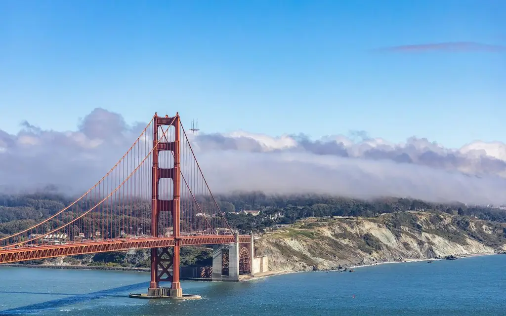
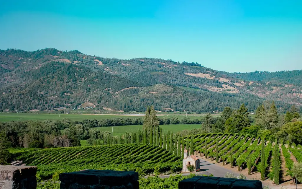
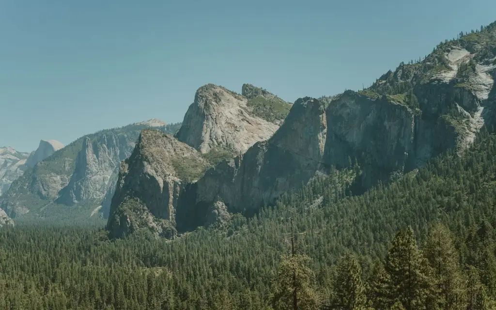
Big Sur pairs naturally with the Monterey Peninsula and a night in Carmel. For wine country to the north, see the Napa Valley and Sonoma County guides, and for the Golden Gate and the bay, read the Golden Gate Bridge guide. Yosemite, covered in its own guide, is a separate multi-hour trip inland.
Other full-day options sit on the private tours with driver page, while the North America directory and attraction guides cover the wider continent. Visit Big Sur's own site, bigsurcalifornia.org, carries its current highway status.
Frequently asked questions
Is Highway 1 open through Big Sur right now?
The Big Sur visitor site reported on September 14, 2026 that Highway 1 was fully open, but Caltrans reported a southern closure for the Plaskett Fire on September 2, and State Parks said fires were active on October 16. Check Caltrans QuickMap on the day.
How far is Big Sur from Carmel?
Bixby Creek Bridge is roughly 21 km (13 mi) south, and McWay Falls about 60 km (37 mi), around one hour to 1 hour 15 minutes.
How long does it take to drive Big Sur?
The visitor site describes Big Sur as a 90-mile (145 km) stretch of coastline. Allow a full day for the return trip with stops.
Can I walk down to McWay Falls beach?
No. State Parks says the beach and the cliff areas beyond the fences are closed, and entering them can bring a citation.
Is there parking at McWay Falls?
Parking is limited. A chauffeur can drop you near the overlook path and collect you.
Is Big Sur suitable for a day trip from San Francisco?
It is long. San Francisco to Carmel is about 2.5 to 3 hours before the coast road begins. Most visitors stay a night on the peninsula.
Do you wait while I walk?
Yes. Agree a rough time at each stop and the driver stays near the pullout; the fare for the whole day shows in the booker before you commit.
What if the road closes and I need to cancel?
Terms are counted from the scheduled pickup time. More than 72 hours' notice: no charge. 72 hours or less: 10%. 48 hours or less: 50%. 24 hours or less or no-show: 100%. If Highway 1 closes, call the desk early and we will look at rebooking first.