 United StatesJFK
 MexicoMEX
 BrazilGRU
 ArgentinaEZE
 ChileSCL
 ColombiaBOG
 PeruLIM
 PanamaPTY
 Costa RicaSJO
 Dominican RepublicPUJ
 JamaicaMBJ
 BahamasNAS
 BarbadosBGI
 United KingdomLHR
 IrelandDUB
 FranceCDG
 GermanyFRA
 NetherlandsAMS
 BelgiumBRU
 SwitzerlandZRH
 AustriaVIE
 ItalyFCO
 SpainMAD
 PortugalLIS
 GreeceATH
 TurkeyIST
 DenmarkCPH
 SwedenARN
 NorwayOSL
 FinlandHEL
 PolandWAW
 Czech RepublicPRG
 HungaryBUD
 IcelandKEF
 United Arab EmiratesDXB
 QatarDOH
 Saudi ArabiaRUH
 IsraelTLV
 EgyptCAI
 MoroccoCMN
 South AfricaJNB
 KenyaNBO
 NigeriaLOS
 IndiaDEL
 PakistanLHE
 Sri LankaCMB
 SingaporeSIN
 MalaysiaKUL
 ThailandBKK
 VietnamSGN
 PhilippinesMNL
 IndonesiaCGK
 Hong KongHKG
 ChinaPVG
 TaiwanTPE
 JapanHND
 South KoreaICN
 AustraliaSYD
 New ZealandAKL
Start with the clock, not the view
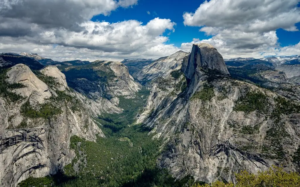
Yosemite's views look close in photographs. The road to them is not. The National Park Service lists Yosemite Valley as about 195 miles (314 km) from San Francisco, four to five hours of driving, and about 313 miles (504 km) from Los Angeles, around six. Even from Fresno, the closest airport city on its list, the trip is roughly 94 miles (151 km) and two hours fifteen minutes.
That arithmetic is the first thing to settle when planning a Yosemite National Park private tour with driver. A day trip from San Francisco is physically possible and rarely sensible: eight to ten hours of driving to leave a handful of hours in the Valley. The better options are an overnight, a start from Fresno or Merced, or a staged itinerary that includes a night in or near the park. This guide is built around those choices.
Our 24/7 desk books a vetted, licensed and commercially insured local chauffeur operator from our worldwide directory for each leg. You get a single confirmation and a single invoice for the whole trip.
What is the quickest way to drive to Yosemite National Park?
From San Francisco, drive about 314 km (195 mi) via I-580 and I-205 to Highway 120 or 140, four to five hours. From Fresno it is about 151 km (94 mi), roughly 2 hours 15 minutes on Highway 41; from Merced about 130 km (81 mi), around 2 hours; from Sacramento about 283 km (176 mi).
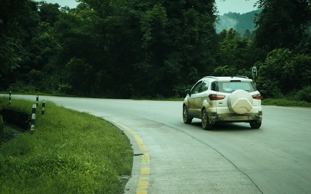
Those are the NPS driving figures to Yosemite Valley. The park warns that GPS units can be inaccurate inside the park, and that road signs take precedence over a navigation app. Drivers who work the route know that rule by heart.
The nearest airports are on the Valley's western side. Fresno Yosemite International Airport (FAT) is the practical choice for visitors who fly in from elsewhere in the US and want the shortest ride. San Francisco is the bigger gateway, with a nonstop network from many countries; the SFO airport guide covers terminal pickups, though the park is a long ride from there. The San Francisco limo service page shows how the desk covers the city and the Bay Area side.
Three gates, three personalities
The park has three principal entrances for the Valley and the western side, plus the high-country road in the east.
| Entrance | Highway | Approach | NPS time to the Valley |
|---|---|---|---|
| Arch Rock | 140 | From Merced and Mariposa, along the Merced River | About 25 minutes inside the park to the Valley |
| Big Oak Flat | 120 west | From the Central Valley and the Bay Area via Groveland | About 45 minutes to the Valley |
| South Entrance | 41 | From Fresno, via Oakhurst and Wawona | About 1 hour from the Valley to the entrance |
| Tioga Pass | 120 east | From the Eastern Sierra; seasonal | Closed in winter |
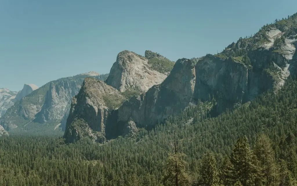
Highway 140 is the year-round river road and the most common choice from the Bay Area. Highway 41 from Fresno passes the Mariposa Grove and Wawona, and yields the famous Tunnel View as your first look at the Valley on the way in. The NPS says some roads close from roughly November through May or June, and that tire chains may be required on open roads from about October through April depending on conditions. Tioga Road typically opens in late May or June and stays open through October.
What does it cost to enter in 2026?
The NPS fees page, last updated in January 2026, lists:
- Private vehicle (15 or fewer seats): $35, valid for 7 consecutive days.
- Per person on foot, bicycle or by non-commercial bus or van: $20, ages 16 and over.
- Annual entrance pass: $70, for US citizens and permanent residents.
- Non-resident surcharge: $100 per person, ages 16 and over, on top of the standard fee, unless admitted with an Annual or America the Beautiful Pass.
For commercial groups the NPS lists $20 per person for residents and $100 per person for non-residents aged 16 and over, valid seven days, and a commercial use authorization is required. Mini-buses (16 to 25 seats) and motor coaches (26 or more seats) are on a separate tier. The park does not accept cash, only credit or debit cards and mobile payment.
A hired car with a professional driver is operating commercially, so the commercial rows are the ones to read. We cannot quote the park's charges and we do not control them; our own fare is fixed and quoted in the booker before you book. Confirm every NPS figure on the page before you travel.
No timed reservation in 2026
Yosemite used a timed entry system in earlier summers. For 2026 the NPS says the park "will no longer use a timed reservation system in 2026", relying on traffic monitoring, parking management and extra staffing on busy days, and it advises planning early for weekends and holidays. The page says nothing about 2027, so check the NPS reservations page when you book a future date. Midweek visits remain the easiest.
Where the car actually goes inside the park
Yosemite Valley is a loop road, and the parking is where visitors get stuck. Three principles shape a chauffeured day:
- Drop-offs beat parking. A driver can set you down near the trailhead or viewpoint and move on, or wait where the road allows, rather than hunting for a space in a lot that fills before mid-morning.
- Pullouts, not shoulders. Tunnel View has its own dedicated overlook. Other viewpoints rely on pullouts that a driver will know.
- No fuel in the Valley. The NPS says gas is available around the clock by credit card at Wawona, Crane Flat and El Portal, but not in Yosemite Valley and no longer at Tuolumne Meadows. Our drivers tank up before entering.
Mariposa Grove has its own system. The NPS page describes a welcome plaza near the South Entrance where parking was moved, with a shuttle between the plaza and the grove; the video describes the plaza as about two miles from the grove. The grove reopened on June 15, 2018 after a restoration, and its current schedule is on the park's site. Plan for the shuttle rather than a drive to the trees.
Inside the Valley: what a driver can and cannot do
The Valley is where most first visits happen, and it is easy to over-plan. Three kinds of stop dominate. The first is the roadside viewpoint, such as Tunnel View on the way in, where a car pulls over, everyone steps out for ten minutes and the car moves on. The second is the short walk to a waterfall or meadow, usually 20 to 60 minutes on a surfaced path. The third is the long hike, which the driver cannot do for you but can set up by dropping you at the trailhead early and collecting you late.
A driver does not replace a ranger. The park's visitor centers and rangers give the day's trail, snow and wildlife information, and your driver will ask at the right moments. A licensed guide is a separate professional; where you want interpretation of geology or natural history, book a guide through the park's authorized operators, and let the chauffeur handle the transport.
The sensible pace is two main stops before lunch and two after, with a rest in between. Light changes fast in a deep valley: the walls shade the floor early, and the late afternoon can feel like evening while the rim is still lit.
Winter driving and chains
From about October through April, the NPS says tire chains may be required on open roads, depending on conditions. That is a practical reason to hire a professional local driver in the cold months: chains are installed and removed at designated points, roads can close on short notice, and the hour of the day matters more than in summer. Our desk assigns operators who work these roads regularly, and we recommend building slack into winter itineraries, with a night in the park or the foothill towns rather than a dash from the coast.
If a storm closes a road, the NPS conditions line and the park's website are the references, and the desk will contact you about the revised plan. We would rather rebook than send a car up a closed grade.
Payments, passes and what to carry
The park does not accept cash at entrance stations, only cards and mobile payment, per the NPS fee page. Keep your passport at hand, since the non-resident surcharge applies to visitors aged 16 and over, and bring the Annual or America the Beautiful Pass if you hold one. Water, layers and sun protection are standard. Phone coverage can be patchy inside the park, so download offline maps and keep a paper copy of your booking confirmation.
Sample chauffeured plans
Option A: from Fresno, one long day. Collect from Fresno airport or a hotel at 7:00 a.m., take Highway 41 (about 2 hours 15 minutes to the Valley), Tunnel View, a Valley loop with a waterfall walk, lunch, and return by dark. About 10 to 11 hours with the driver.
Option B: two days from San Francisco. Day one: depart at 7:00 a.m., arrive at the Valley around noon, afternoon in the Valley, overnight inside or near the park. Day two: Glacier Point (when its road is open), the Mariposa Grove or Wawona, return to San Francisco in the evening.
Option C: Merced-based. For travelers staying in the foothill towns, Highway 140 gives a shorter approach (about 2 hours from Merced to the Valley, per the NPS).
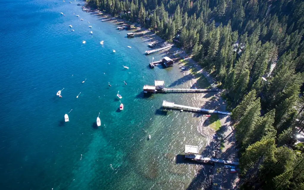
Add more to the California circuit using the Lake Tahoe guide to the north or the Big Sur guide to the coast; each is a separate trip, not a stop on the way.
Seasons, briefly
- Spring (April to June): waterfalls at their strongest when the snowmelt runs, though high-country roads remain closed.
- Summer (June to August): all roads open, the crowds are largest and the Valley is hot by afternoon.
- Autumn (September to November): quieter; chains may be required from about October on open roads, and some roads close from November.
- Winter (December to March): the Valley is open, often with snow on the rim, and Tioga Road is closed.
Call the NPS road line at 209/372-0200 (press 1, then 1) or check the park's conditions page for the day. For the 2026 closures, always rely on the NPS current status, not on a travel article.
Choosing between a driver, a rental and the bus
| Option | Time to the Valley | Cost note | Best for |
|---|---|---|---|
| Private chauffeur | 2 hours 15 minutes from Fresno; 4 to 5 hours from San Francisco | Fixed fare via the booker | Groups, anyone short of time, winter driving |
| Rental car | Same | Rental, fuel and chains | Independent travelers with flexible days |
| Bus or rail with connections | Considerably longer | Lowest | Budget travelers happy with a slow trip |
| Park concession tour from the Valley | Inside the park only | Priced per seat | Visitors already staying in the Valley |
If you are alone with a week to spare, a rental car is the lowest-cost option in practice. A chauffeur earns its fare on long days, with groups, in winter conditions and when a driver can drop you at a trailhead while you save energy for the walk.
Vehicles, luggage and group size
The Luxury SUV (Cadillac Escalade, Chevrolet Suburban or GMC Yukon Denali or similar) carries up to six with five to six large bags and is the usual choice for this route. The Executive Sprinter fits 12 to 14. Child, toddler and booster seats are available on request at booking. Browse the fleet for details.
For other California and North American days, see the full list of private tours with driver, the North America directory and the other attraction guides. Trade accounts are open to travel agents and destination management companies.
Frequently asked questions
How far is Yosemite from San Francisco?
The NPS lists about 195 miles (314 km) to Yosemite Valley, four to five hours via I-580 and I-205 and then Highway 120 or 140.
How far is Yosemite from Fresno?
About 94 miles (151 km) via Highway 41, around 2 hours 15 minutes to the Valley.
Do I need a reservation to enter Yosemite in 2026?
No. The NPS says the park will not use a timed reservation system in 2026, but it advises planning early for weekends and holidays.
What is the non-resident surcharge?
As of 2026, $100 per person for visitors aged 16 and over who are not US residents, added to the standard fee, unless admitted with an Annual or America the Beautiful Pass.
When does Tioga Road open?
It typically opens in late May or June and stays open through October, depending on conditions.
Can I buy gas in Yosemite Valley?
No. The NPS lists gas at Wawona, Crane Flat and El Portal.
Do I need tire chains?
Chains may be required on open roads from about October through April, depending on conditions.
Can I cancel if the weather changes?
Our standard terms apply, measured from the scheduled pickup time: no charge with more than 72 hours' notice; 10% at 72 hours or less; 50% at 48 hours or less; 100% at 24 hours or less or on a no-show. Road closures are a reason to call the desk early, so we can rebook sooner.