 United StatesJFK
 MexicoMEX
 BrazilGRU
 ArgentinaEZE
 ChileSCL
 ColombiaBOG
 PeruLIM
 PanamaPTY
 Costa RicaSJO
 Dominican RepublicPUJ
 JamaicaMBJ
 BahamasNAS
 BarbadosBGI
 United KingdomLHR
 IrelandDUB
 FranceCDG
 GermanyFRA
 NetherlandsAMS
 BelgiumBRU
 SwitzerlandZRH
 AustriaVIE
 ItalyFCO
 SpainMAD
 PortugalLIS
 GreeceATH
 TurkeyIST
 DenmarkCPH
 SwedenARN
 NorwayOSL
 FinlandHEL
 PolandWAW
 Czech RepublicPRG
 HungaryBUD
 IcelandKEF
 United Arab EmiratesDXB
 QatarDOH
 Saudi ArabiaRUH
 IsraelTLV
 EgyptCAI
 MoroccoCMN
 South AfricaJNB
 KenyaNBO
 NigeriaLOS
 IndiaDEL
 PakistanLHE
 Sri LankaCMB
 SingaporeSIN
 MalaysiaKUL
 ThailandBKK
 VietnamSGN
 PhilippinesMNL
 IndonesiaCGK
 Hong KongHKG
 ChinaPVG
 TaiwanTPE
 JapanHND
 South KoreaICN
 AustraliaSYD
 New ZealandAKL
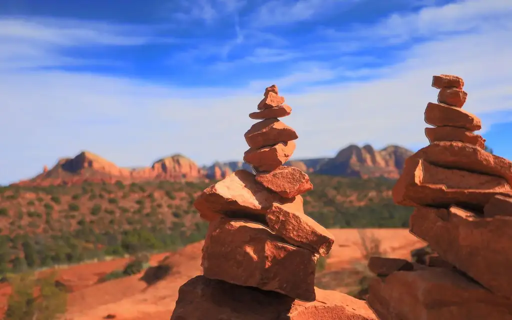
Sedona is a small town surrounded by a very large national forest. Visit Sedona describes the town as occupying a slender stretch of habitable space, with nearly two million acres of national forest and four wilderness areas around it. That geography explains almost everything about getting around: few roads, many trailheads, and a lot of visitors competing for the same car parks. A Sedona red rock country private tour with driver exists to sort that out in advance.
The advice below is for visitors planning a Sedona red rock country private tour with driver, or working out how to get to Sedona by car from Phoenix or Flagstaff. It covers the roads, the Red Rock Pass, the trailhead shuttles, the fall season and what a driver can and cannot do for you at the trailhead.
How do you get to Sedona by car from Phoenix?
Sedona is 113 miles (182 km) from Phoenix and about two hours from Phoenix Sky Harbor Airport, per Visit Sedona. The usual route is Interstate 17 north to exit 298, then State Route 179 into town. Allow extra time on weekends, when the final miles slow down.
That is Visit Sedona's published figure and it matches what drivers experience. The motorway section is quick. The slow part is the last 14 miles on State Route 179 and the short drive to wherever you are staying, because the road passes through several roundabouts and a stream of weekend traffic.
If you arrive at Phoenix Sky Harbor, a chauffeur can take you straight to Sedona, and our Phoenix and Scottsdale limo service page covers pickups in the Valley. Flagstaff's airport is closer, about 45 minutes away.
Choosing the road in: SR 179 or Oak Creek Canyon
There are two scenic approaches, and they behave differently:
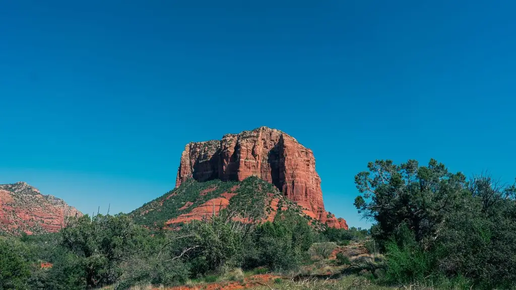
- From the south, via I-17 and SR 179. A fast approach with a series of views of Bell Rock and Courthouse Butte as you enter the Village of Oak Creek.
- From the north, via Flagstaff and SR 89A through Oak Creek Canyon. A winding two-lane road of about 15 miles through the canyon, descending roughly 2,200 feet into Sedona. From Flagstaff it is about 28 to 30 miles (45 to 48 km). The Forest Service gives about an hour for the canyon drive itself.
The canyon road is the more beautiful and the slower one. In fall it can be busy with visitors stopping for the leaves. If you are coming from the Grand Canyon, a driver will often use Flagstaff and SR 89A, which is also the better choice for scenery. Visit Sedona gives the Grand Canyon as 114 miles and 90 minutes to 2 hours.
The Red Rock Pass explained
Many Sedona trailheads and viewpoints sit on Coconino National Forest land and need a pass for parking. The Forest Service lists the program on its Red Rock and Coconino Passes page, last updated June 17, 2026:
| Pass | Price (2026 listing) | Covers | Where to buy |
|---|---|---|---|
| Red Rock Pass, daily | $5 | Everyone in the vehicle at Coconino sites | Recreation.gov, kiosks, Sedona Chamber, Red Rock Visitor Center |
| Red Rock Pass, weekly | $15 | Same | Same |
| Red Rock Pass, annual | $20 | Same | Same |
| America the Beautiful annual | $80 | Federal sites nationwide | USGS Store, Forest Service offices |
| Coconino Hospitality Annual | Weekly $25, annual $50 | Five concessionaire sites only | In person at those sites |
Sites requiring a Red Rock Pass or America the Beautiful pass include Bell Rock, Cathedral Rock, Boynton Canyon, Palatki and Honanki. Red Rock State Park and Slide Rock State Park charge state entrance fees instead, and a handful of picnic areas accept only the Hospitality pass.
Visit Sedona adds three useful points. You may not need a pass at every trailhead. You do not need one to stop for a photograph if you stay within sight of your car. And no pass is needed to park for shops, galleries or restaurants. The Red Rock Pass is an online purchase tied to your license plate, with no printed pass, which is convenient but means the registered plate must match the vehicle you use.
Passes are a federal program and not part of our fare. Ask the desk how they are handled for your booking, and check the Forest Service page for any change.
Trailhead shuttles and what they change
The City of Sedona runs free trailhead shuttles from park-and-ride lots to the busiest trails. Visit Sedona lists service Thursday through Sunday, from 7:00 a.m. to 5:30 p.m., on routes to Cathedral Rock, Soldier Pass and Dry Creek Road, from three park-and-ride locations. The shuttle exists because trailhead parking at those places was overwhelmed, so for those trails the car stays at the park-and-ride lot and you ride the bus. Schedules and parking rules have changed over time, so confirm them on the Sedona Shuttle site before you plan a drop-off at one of those trailheads.
Visit Sedona also describes an on-demand curb-to-curb service, Sedona Shuttle Connect, for $2 per ride, running Thursday to Sunday from 6:30 a.m. to 8:30 p.m., with pickup and drop-off at signed points at Hillside Sedona and Uptown. That is a good low-cost option for short hops within the town.
For a chauffeured visit, the rule of thumb is simple. Trails served by the shuttle are best accessed by the shuttle or at off-peak times. Trails with their own parking, such as Bell Rock, can be reached directly by car with the right pass.
Uptown, the roundabouts and the hour of the day
Sedona is about 6 miles long and 3 miles wide. Most West Sedona attractions lie along a 2-mile stretch of SR 89A. Gallery Row is roughly a 15-minute walk from Uptown. That compactness makes traffic worse, not better, because there are very few alternative roads.

The pattern is predictable:
- Early morning (7 to 9 a.m.). The quietest period. This is the time for the trailheads that matter.
- Late morning to mid-afternoon. Heaviest traffic on SR 179 and SR 89A, especially Friday to Sunday.
- Late afternoon and sunset. Viewpoints fill. A driver can drop you at a closer point so you walk less in the dusk.
- Evening. Dinner traffic moves slowly through Uptown and toward the restaurants on SR 179.
The Sedona Visitor Information Center, at 331 Forest Road in Uptown, is open daily from 8:30 a.m. to 5:00 p.m., sells Red Rock Passes and is a useful stop for maps.
What you can see without a trail
Not everyone wants a hike, and much of Sedona is visible from the road or a short walk:
- Tlaquepaque Arts & Shopping Village at 336 State Route 179 is a cluster of galleries and restaurants, with limited on-site parking noted on its site and a shuttle for some events. Its website lists hours, which the banner showed as 10:00 a.m. to 5:00 p.m.
- Oak Creek Canyon drive on SR 89A, with overlooks at the top of the switchbacks.
- Bell Rock and the Village of Oak Creek, where roadside views come before any trailhead decision.
- Chapel of the Holy Cross, a well-known chapel built into the red rock. Check its own site for visiting hours and parking before you plan the stop.
For a driver-led day, that list gives a morning of viewpoints and a lunch in the town without a single mile of trail.
When to go: seasons and fall color
Visit Sedona gives average highs and lows of about 60 and 34 degrees Fahrenheit in winter, 76 and 45 in spring, 95 and 73 in summer and 74 and 48 in fall. The town stands at about 4,500 feet (1,370 meters). Temperatures drop noticeably after sunset from October, so carry a light jacket. Summer brings monsoon storms, and dry washes can flash-flood.
Fall color in the sycamores, oaks and maples runs from late October in upper Oak Creek Canyon and Flagstaff to early November in the lower canyon, including Sedona, depending on the weather. With today's date in mid-October, the next two to three weeks are the window to aim for in the upper canyon, and the first week of November for Sedona itself.
A Sedona private tour with driver: one day from Phoenix
- 7:30 a.m. Pickup in Scottsdale or Phoenix, or at Sky Harbor.
- 9:45 a.m. Arrive at Bell Rock, buy or show the Red Rock Pass, and walk the first stretch of the trail.
- 11:00 a.m. Drive to Tlaquepaque for galleries and lunch.
- 1:00 p.m. Oak Creek Canyon on SR 89A as far as the overlook, then return.
- 3:30 p.m. Return to Phoenix, or continue to Flagstaff.

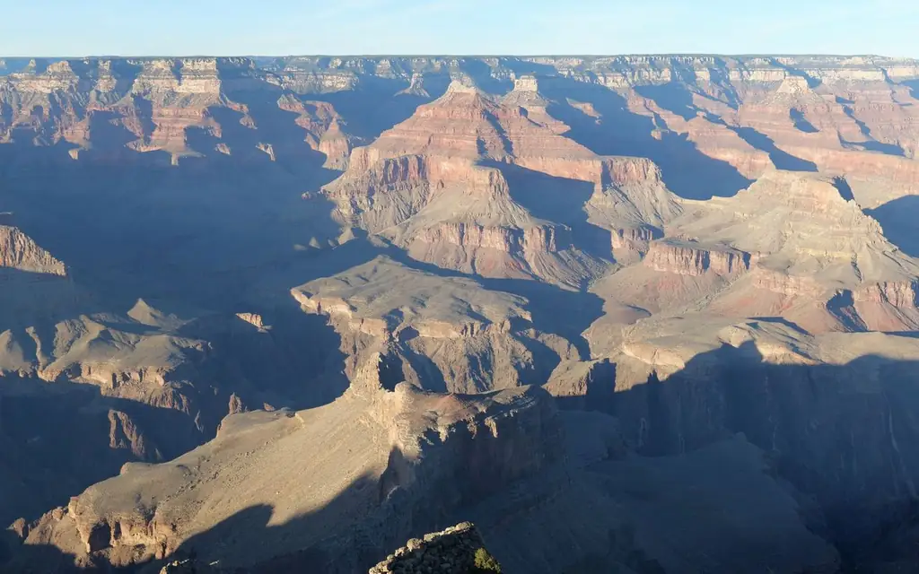
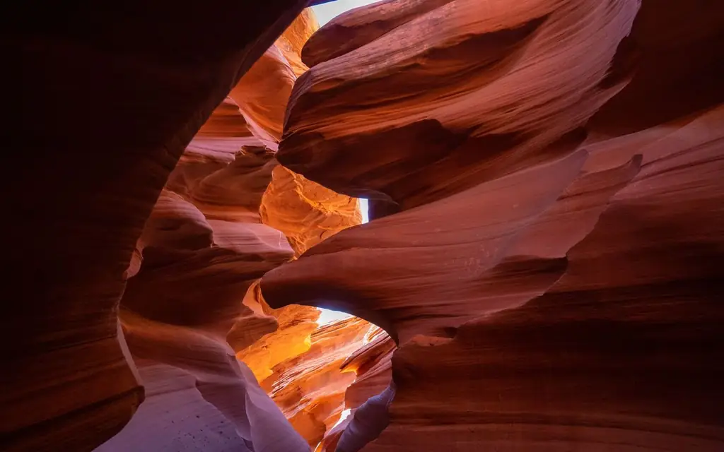
If you have two days, the Grand Canyon South Rim is 114 miles (183 km) and 90 minutes to 2 hours away, and Antelope Canyon can be added by continuing to Page, about 135 miles (217 km) from Flagstaff. Our private tours with driver page shows how multi-day Southwest routes are built.
How the desk plans a Sedona drop-off
Sedona is a place where the right drop-off point saves 30 minutes. When you book, give the desk the name of your lodging, the trailhead or gallery you want first, and whether you hold a pass. The driver then works out three things in advance: which of the two roads to use, whether the first stop is shuttle-served, and where the car can wait while you walk.
For trails with a shuttle, the plan usually places the car at the park-and-ride lot, with a pickup agreed for a set time. For trails with their own parking, the driver may drop you at the trailhead and move to a legal nearby space. In both cases you carry your confirmation on your phone and a message line to the driver.
Respecting the land
Most of the red rock around the town is national forest, which means the usual rules apply: stay on marked trails, take your rubbish with you and leave rock formations and plants as you found them. The Forest Service pages explain which sites charge fees, and the trailhead signs show closures. Flash floods can fill dry washes with little warning in the monsoon season, so check the forecast before any walk that crosses a wash.
Ways to reach Sedona compared
| Method | From Sky Harbor | Cost basis | Works best for |
|---|---|---|---|
| Scheduled airport shuttle | About 2 hours plus stops | Fixed seat fare | Solo travelers on a fixed schedule |
| Rental car | About 2 hours | Rental plus parking and passes | Hikers who want complete independence |
| Trailhead shuttle (in town) | Local only, Thursday to Sunday | Free | Cathedral Rock, Soldier Pass, Dry Creek trails |
| Private chauffeur | About 2 hours each way | Fixed fare quoted before you book | Groups, couples and anyone linking Sedona to the Grand Canyon |
If you are traveling alone and want the lowest cost, a scheduled shuttle or a rental car shared with others costs less. A private car is better when the group has varied interests or a connecting flight, or when you want to arrive at the trailhead before the crowd.
Accessibility and comfort
Many of Sedona's best views can be enjoyed from a car door or from short paved paths, but trails are rocky and uneven. The altitude is moderate at 4,500 feet. Bring water, sunscreen and a hat, even in cooler months. Tell the desk if anyone has limited mobility, and we will plan the drop-offs at places with the shortest walks. Child, toddler and booster seats can be requested at booking.
For the official picture, see Visit Sedona's frequently asked questions and ground transportation page, the Forest Service's Red Rock and Coconino Passes page and the Tlaquepaque website. More regional guides are in our North America directory.
Frequently asked questions
How far is Sedona from Phoenix?
113 miles (182 km). Visit Sedona gives about two hours from Phoenix Sky Harbor Airport and about 2.5 hours from Phoenix-Mesa Gateway.
How far is Sedona from Flagstaff?
Roughly 28 to 30 miles (45 to 48 km) by SR 89A through Oak Creek Canyon, about an hour on a winding two-lane road. Flagstaff Pulliam Airport is about 45 minutes from Sedona.
Do I need a Red Rock Pass in Sedona?
At many trailheads, yes. The pass costs $5 daily, $15 weekly or $20 annually per the 2026 Forest Service listing, and an America the Beautiful pass is accepted at most Coconino sites. You do not need one to stop for a photograph within sight of your car.
Is there a shuttle to Cathedral Rock?
Yes, a free trailhead shuttle runs Thursday through Sunday from a park-and-ride lot, according to Visit Sedona. Check the Sedona Shuttle site for current hours and parking rules.
What is the best time to visit Sedona?
Spring and fall for comfortable weather. Fall color usually peaks from late October to early November. Summer is hot and has monsoon storms.
How high is Sedona?
About 4,500 feet (1,370 meters) above sea level, which is moderate. Most visitors feel no altitude effects.
Can I visit Sedona and the Grand Canyon on one trip?
Yes. The South Rim is 114 miles (183 km) away, roughly 90 minutes to 2 hours. A two-day itinerary with one night in Sedona is a common plan.
Where do I get a Red Rock Pass?
On Recreation.gov, at kiosks at fee sites, at the Sedona Chamber of Commerce and at the Red Rock Visitor Center. The online pass is linked to your license plate.
Is parking free for shops and galleries?
Yes. Visit Sedona says no pass is needed to park for shops, galleries or restaurants.